Two cities on one harbor
Before 1898 New York City meant Manhattan and the part of the Bronx it had annexed. Brooklyn was a separate city with its own mayor, its own police, and one of the largest populations in the country. Queens and Richmond (now Staten Island) were counties of farms, villages and shore towns. The five places shared a harbor, a river and an economy, but not a government.
The Brooklyn Bridge opened in 1883 and tied the two big cities together with a road. Ferries had crossed the East River for two centuries, but the bridge made the crossing ordinary. Commuters, freight and capital moved daily between the two shores, and the case for one city grew with every trip.

The Father of Greater New York
Andrew Haswell Green, a lawyer and civic planner who had helped run Central Park, pushed the idea for decades. He argued that one government could plan streets, water, docks and transit across the whole harbor. He chaired the state commission that drew the plan. Later generations called him the Father of Greater New York.
In 1894 voters in the affected areas answered a nonbinding question on the merger. Brooklyn said yes by a margin of fewer than 300 votes out of roughly 129,000 cast. Some Brooklyn residents fought the result for years and later called the merger the Great Mistake of 1898.

The charter
The state legislature passed the Greater New York Charter and Governor Levi P. Morton signed it in 1897. It took effect on January 1, 1898. The new city had five boroughs: Manhattan, Brooklyn, the Bronx, Queens and Richmond. Each borough elected a president, and a Board of Aldermen and a mayor governed the whole.
Robert A. Van Wyck became the first mayor of the consolidated city. The 1900 census counted 3,437,202 people in the new city, which made it the second largest city in the world after London. The eastern towns of Queens County declined to join and became Nassau County in 1899.
The boroughs were unequal from the start. In 1900 Manhattan held 1,850,093 people and Brooklyn 1,166,582, while the Bronx had 200,507, Queens 152,999 and Richmond 67,021. The merger multiplied the city's land many times over, from the 23 square miles of Manhattan to roughly 300 square miles of farms, marsh, villages and shore.
What consolidation built
One city could borrow on one credit and build at one scale. Within a decade it opened the first subway line (1904), the Williamsburg Bridge (1903), the Manhattan Bridge (1909) and the Queensboro Bridge (1909). It unified water supply, fire and police, and it began the park and school systems the boroughs still use.
The borough names outlasted the politics. Richmond became Staten Island in name in 1975. The Bronx remains the only borough with a definite article, after the Bronx River and the Bronck family who farmed there in the 1600s. The five borough map has not changed since 1898.

In the census
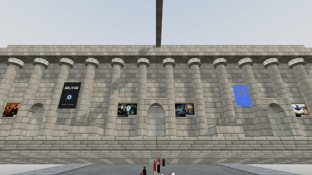
This history lives in three museum rooms. The Panorama room holds the model of all five boroughs that the Queens Museum built for the 1964 World's Fair, the clearest picture of what 1898 joined. The Custom House room and the MCNY room show the civic and museum buildings that the consolidated city put up in the years that followed. On the atlas, every borough carries its share of painted New Yorkers: the clerks, ferry hands and borough presidents of the census.




 THE QUEENS MUSEUMThe city on a table
 THE CUSTOM HOUSEThe rotunda at Bowling Green
 MUSEUM OF THE CITY OF NEW YORKThe city's museum
When did New York City become five boroughs?
On January 1, 1898, when the Greater New York Charter took effect. Manhattan, Brooklyn, the Bronx, Queens and Richmond (Staten Island) became boroughs of one city.
Was Brooklyn its own city?
Yes. Brooklyn was a separate city with its own mayor and government until 1898. It was one of the largest cities in the United States when it merged.
Who was Andrew Haswell Green?
A lawyer and civic planner who championed consolidation for decades and chaired the commission that drafted the plan. New Yorkers later called him the Father of Greater New York.
What was the Great Mistake of 1898?
A phrase some Brooklyn residents used for the merger with New York. Brooklyn voters had approved consolidation in 1894 by a margin of fewer than 300 votes.
- Museum of the City of New Yorkinstitution
Collections and exhibitions on the city's political history, including consolidation - US Census Bureauprimary
Decennial census counts for New York City, 1900 onward - Brooklyn Public Libraryinstitution
Brooklyn collection and local history on the City of Brooklyn - Library of Congressprimary
Newspapers and maps from the consolidation era - Queens Museuminstitution
Home of the Panorama of the City of New York - Britannicareference
General reference on New York City history and Andrew Haswell Green
Corrections are welcome. Write to the census at @degens on X and name the line. The reading room cites institutions, not the census; the census cites the reading room.